NECESSARY IMPRECISION
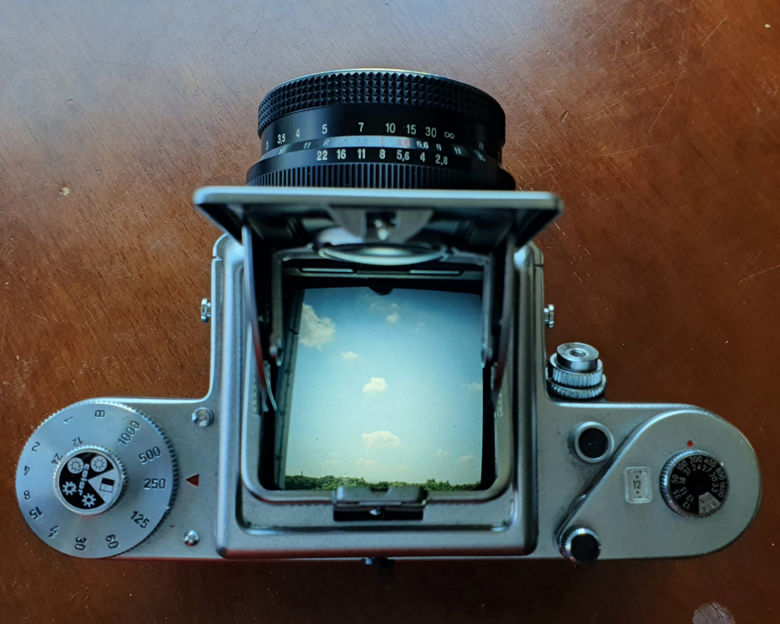
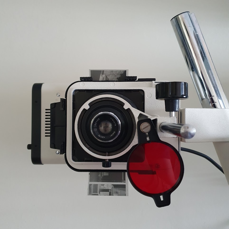
By acknowledging the necessary imprecision present in the surficial formation of the world, the methodology involved in this project’s production intentionally created space for error by carrying out operations in the dark and with analogous media. Steering away from the sterile and abstract environment of the digital, the site analysis was carried out with black and white analog photography on a Pentacon Six TL camera, and poetry which sought to bridge an abstract understanding of the surface with the specific spatial and temporal context that they were situated in, Panama. These works were then operationalized using a Meopta 5 enlarger, and model 44 Erika type writer.

The slippery surface condition (that it is constantly changing) is problematic when attempting to engage with global processes that negotiate mass production, mass extraction, and mass shipping for the masses. In our global society of mass-consumption and late-stage capitalism, the ability to reliably, quickly, and safely deliver goods across the globe’s waters is essential for many economies, and it is reliant on the negotiation of coordination systems and depth measures that stand in opposition to the ever-changing behavior of the water’s surface. The standardization required to organize such an operation in a world that is in constant movement is tremendous; creating a net of abstract lines and global mean measures that this project attempts to fly by.
Using the shifting frame lines and grids of 10 historical maps from the 1600s to the late 1900s of the west coast of Central America, the project positions 97 follies in the Pacific Ocean of Panama at each coordinate point of each map. As a consequence, multiple follies represent the same coordinate; due to changing measures over the centuries, the same coordinates in 1675 find themselves in a different position in 1982. Recognizing both measures subverts and questions the (global, colonial) measure, and embraces the variable nature of the surface along with the problem of precision in the modern era.
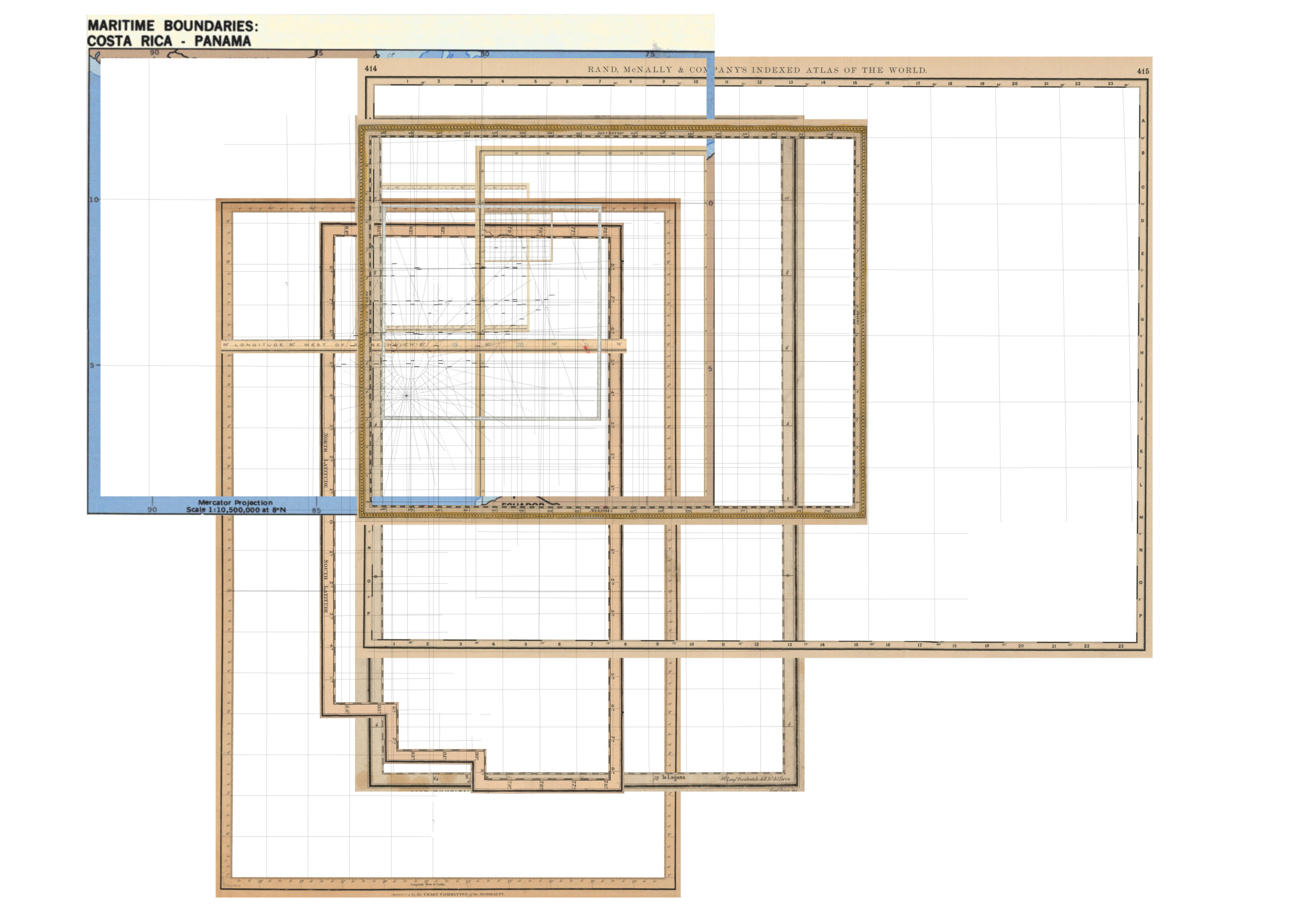
Within the context of the new silk road, the project positions itself as a disruptive field of points that read out false positions, and reports back with qualitative and site specific measures of the surface, subverting the Cartesian gridding that gives each folly its place. The project does not seek to refute the system of measure that we have, but rather demonstrate that these cardinal points are as bizarre, absurd, and indeed, mythological as those fantastic beasts drawn in maps only a few centuries ago. By manifesting the coordinate points of historical maps physically, the strangeness of our contemporary myth of measure is realized and celebrated – one is once again able to get lost, so long as you consider the GPS coordinate location for what it truly is: a fabrication. By making real the coordinate grid, the project generates modern monsters and a sense of wonder for the drunken variousness, incorrect plurality, and sudden beauty of the world that cannot be measured.